MVP S1
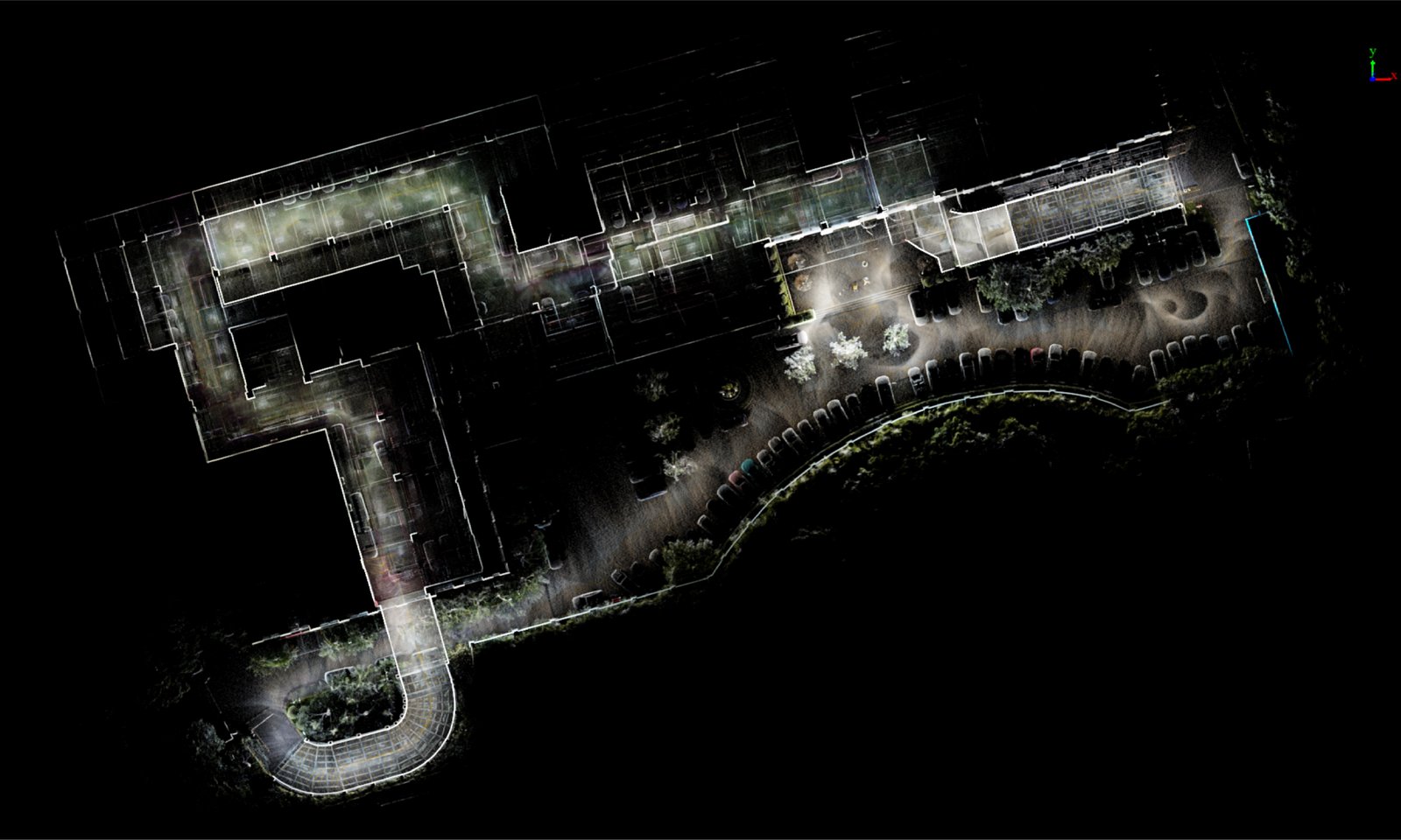
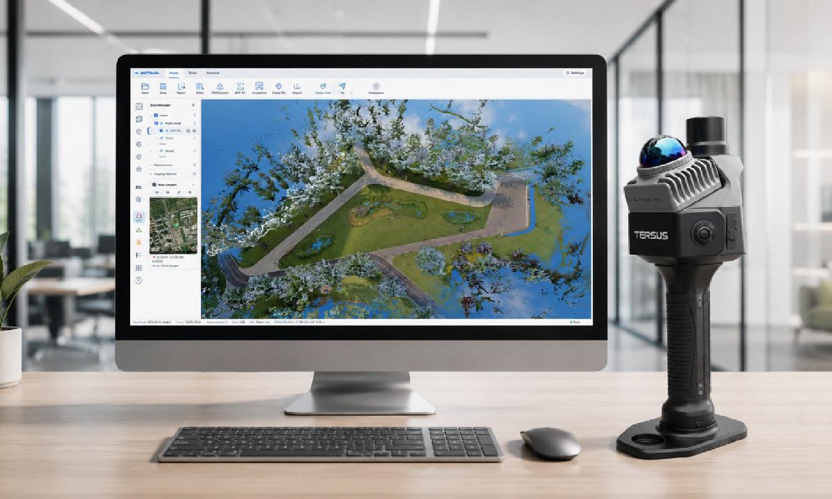
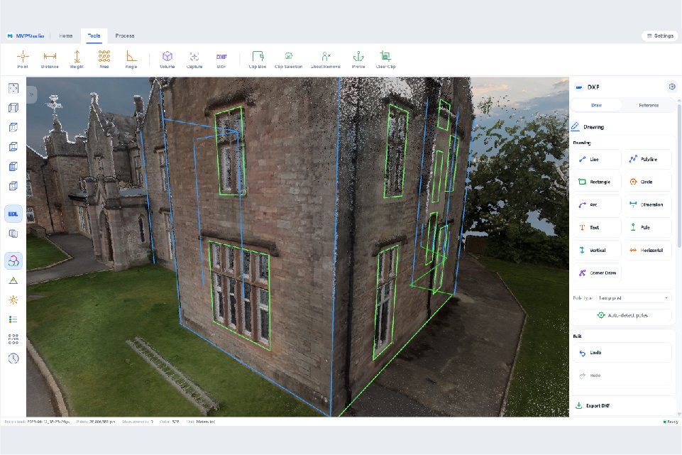
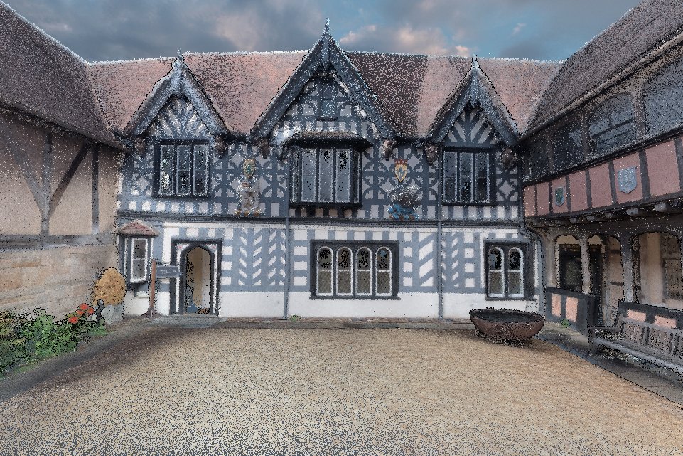
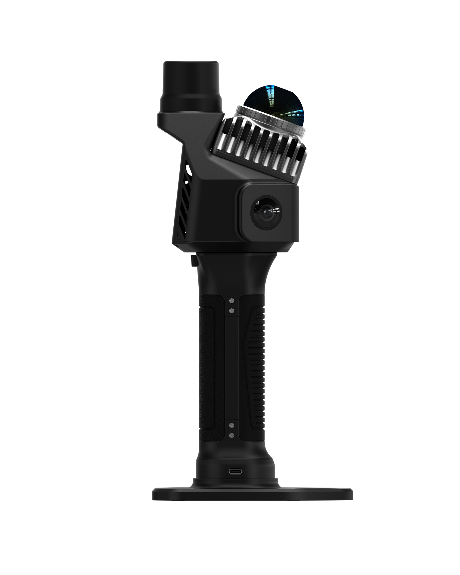
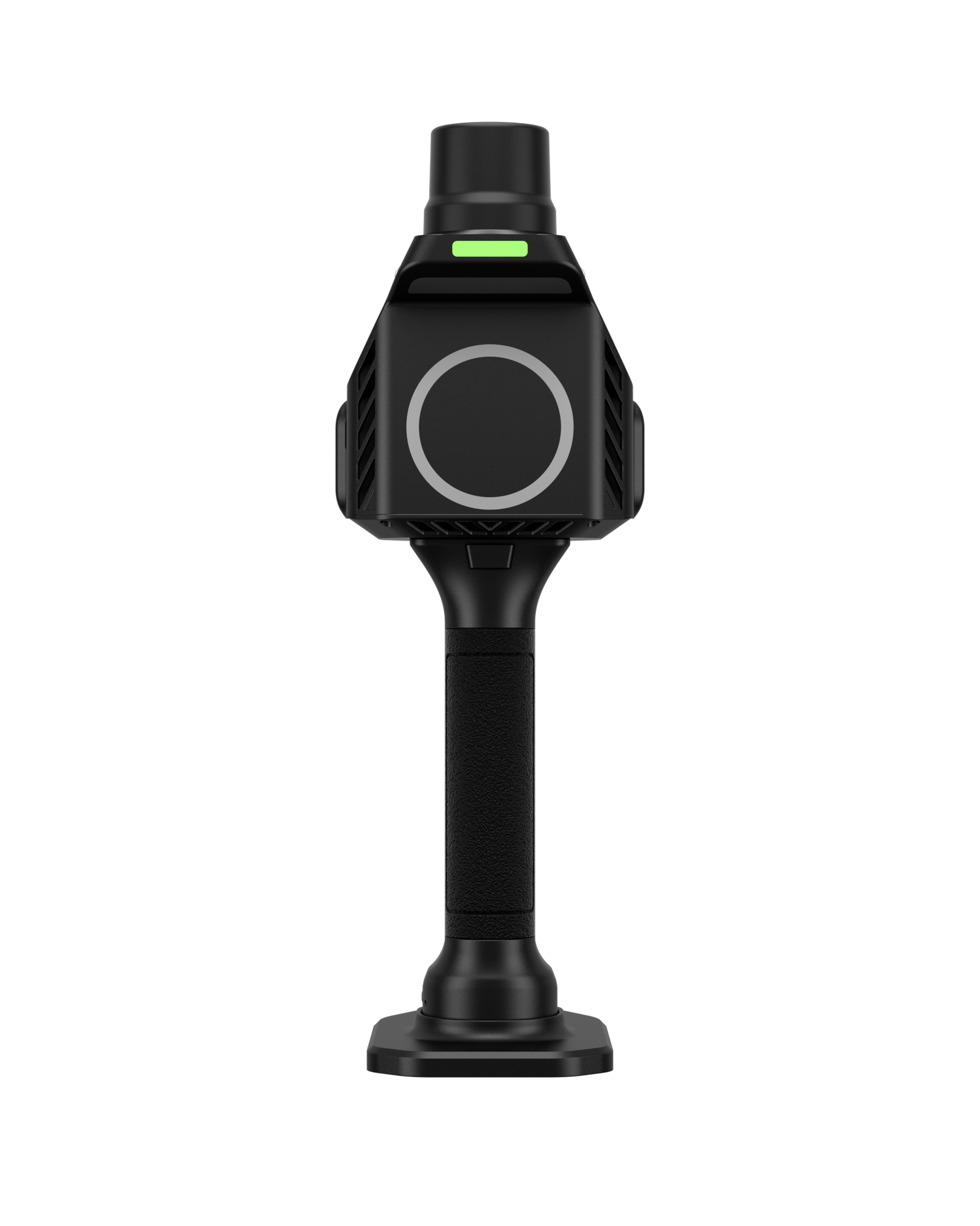
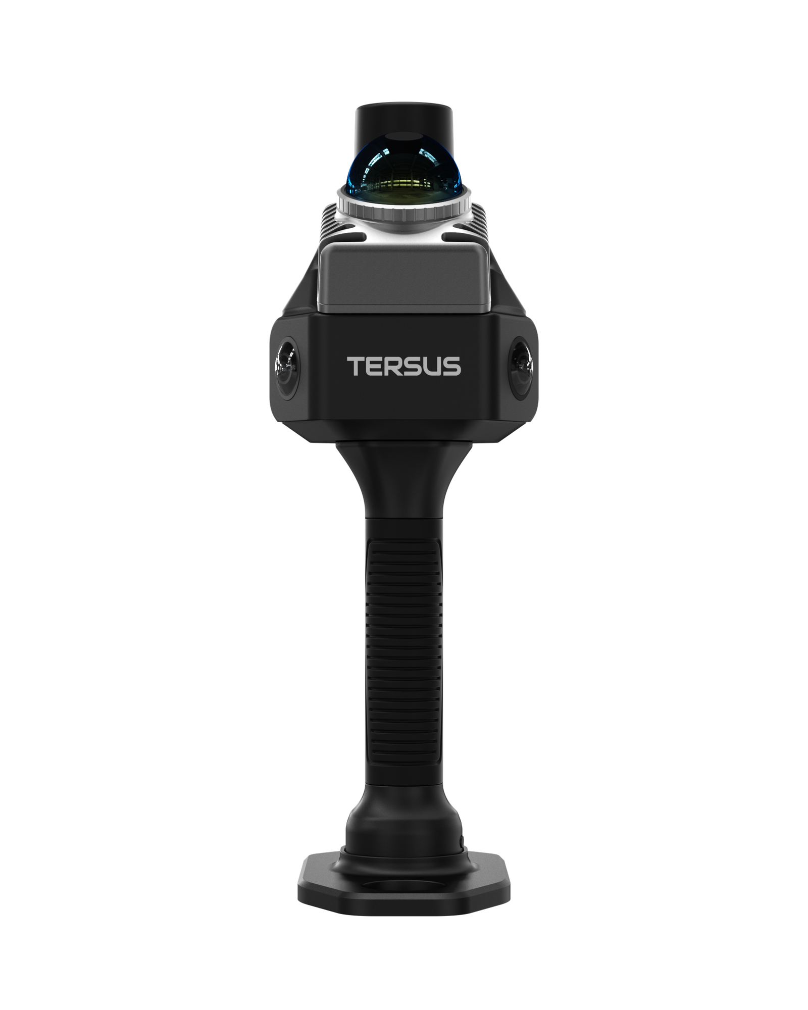
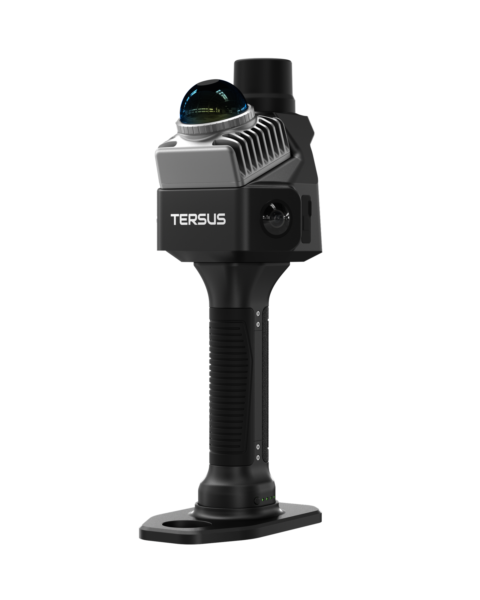
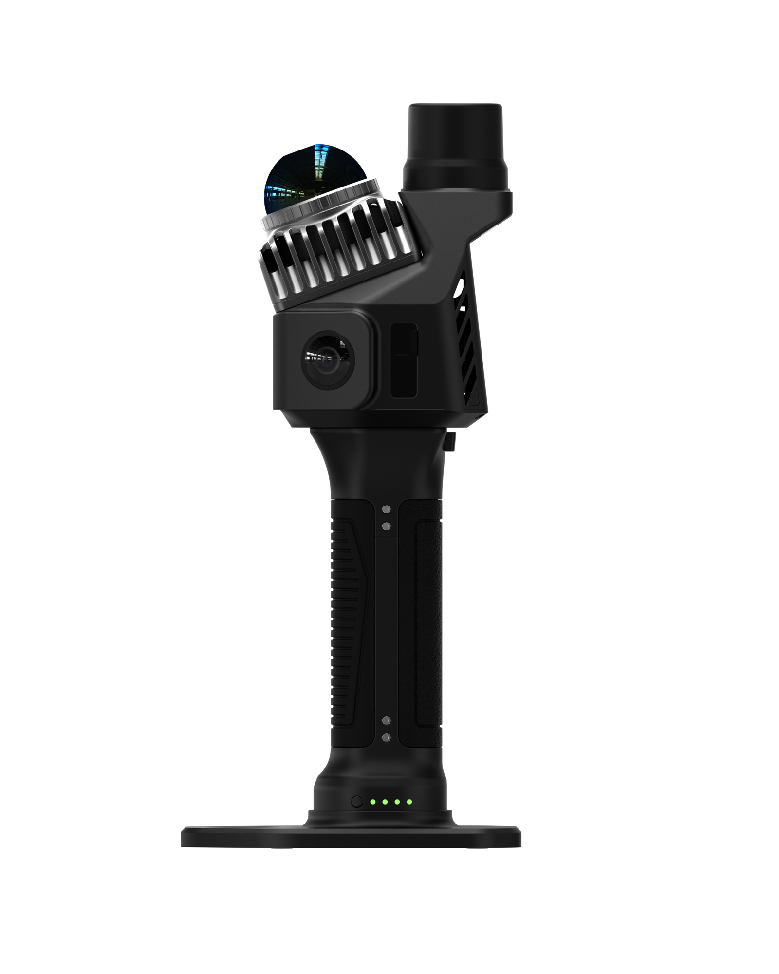
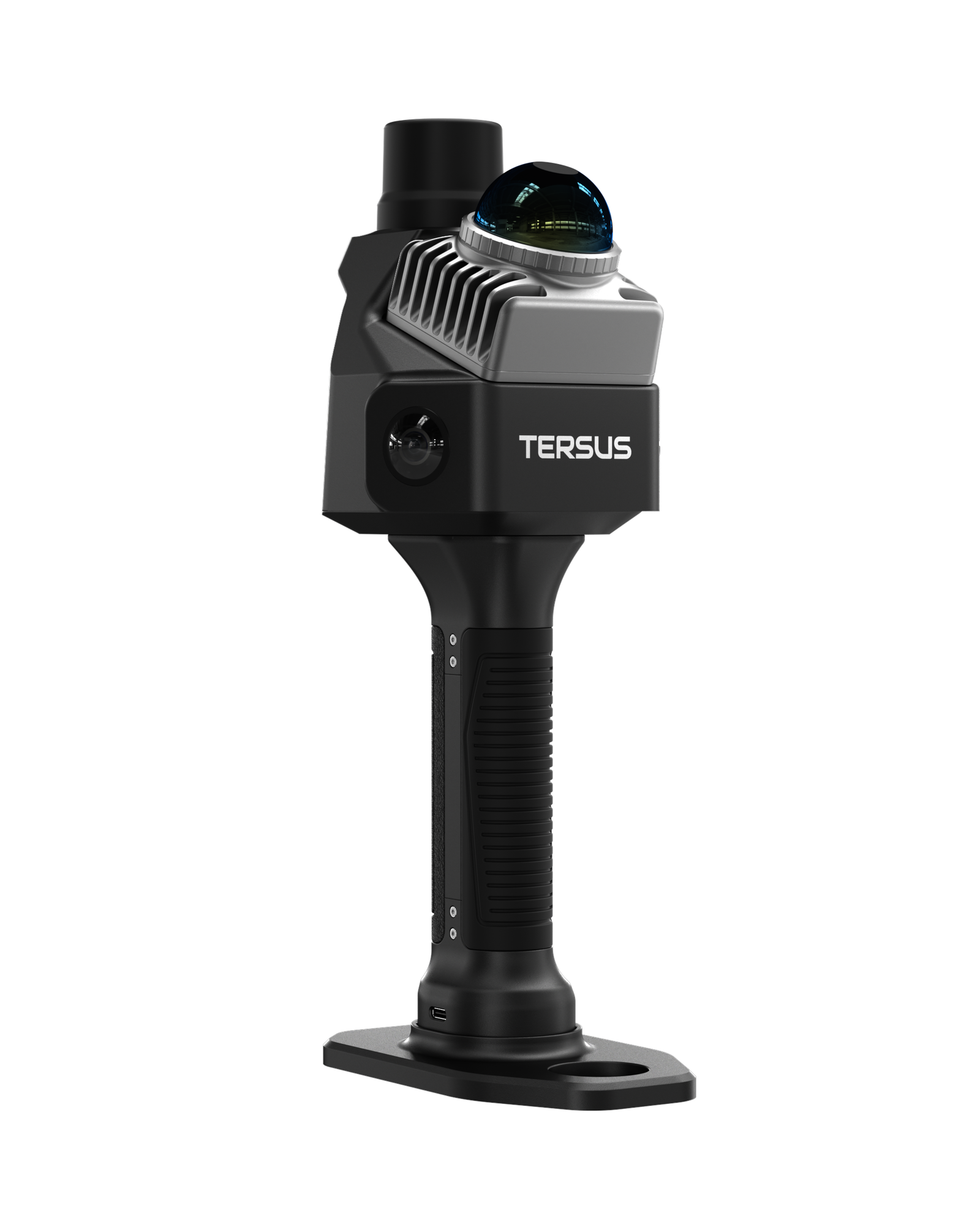
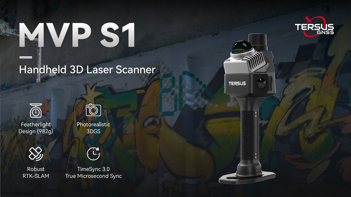
The Tersus MVP S1 combines 360° LiDAR, built-in multi-constellation RTK and panoramic imaging in a 982 g handheld system. Check coverage in the field, then use MVPStudio on Windows to process, verify, transform and deliver point clouds, CAD, GIS and reports.
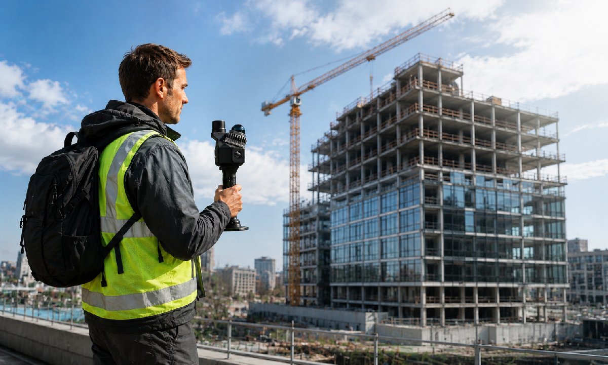
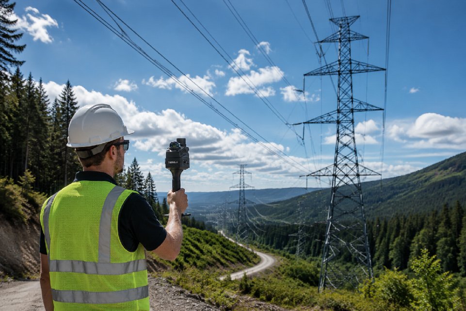
Designed for professionals who demand portability without compromise. The Tersus MVP S1 combines a 360° LiDAR, high-precision RTK module, and flagship panoramic imaging into a compact body. Whether mapping indoor spaces or outdoor construction sites, it ensures seamless data capture with microsecond-level synchronization
- AVAILABILITY: AVAILABLE
- Inquire Now
System & Data
| Weight | 982 g (Battery: 363 g, Main unit: 619 g) |
|---|---|
| Dimensions | 104 × 140 × 305.7 mm (with positioning plate) |
| Main Unit Size | 104 × 105 × 133.2 mm |
| Ingress Protection | IP5X |
| Operating Temperature | -20°C to +55°C |
| Storage Temperature | -20°C to +60°C |
| Phone Mounting | Magnetic |
Connectivity & Data
| Wi-Fi | Wi-Fi 6, 2.4G / 5G dual-band, up to 20 m |
|---|---|
| Bluetooth | Supported |
| Data Export | TF card / Type-C |
| USB | USB OTG, supports app connection and SD card copy |
LiDAR
| Laser Class | Class 1 / 905 nm |
|---|---|
| Point Cloud Rate | 200,000 pts/s |
| Frequency | 10 Hz |
| Range | 0.1–40 m @ 10% reflectivity; 0.1–70 m @ 80% reflectivity |
| Field of View (FOV) | Horizontal 360°, Vertical -7° to +52° |
| Mounting Angle | Tilted 20° to ground |
Camera System
| Resolution | 48 MP × 2 |
|---|---|
| Sensor Size | 1/2" |
| Panoramic Image | Supported |
| Camera Count | 2 |
| Max Capture Rate | 10 Hz |
| Lens Field of View | Vertical 200°, Horizontal 200° (per fisheye lens) |
Power
| Power Consumption | <20 W |
|---|---|
| Battery Capacity | 41.97 Wh (2849.41 mAh) |
| Battery Voltage | 12.7–16.2 V |
| Operating Time | 150 min |
| Charging Port | Type-C |
| Charging Power | PD 30 W |
| Charging Time | 120 min |
Onboard Computing
| Computing Power | 6 TOPS |
|---|---|
| Memory | 8 GB |
| Storage | 256 GB (expandable) |
Processed Accuracy
| Point Thickness | <1 cm |
|---|---|
| Relative Accuracy | <1 cm |
| Absolute Accuracy | <5 cm |
RTK/GNSS Accuracy
| Horizontal Accuracy | 0.8 cm + 1 ppm |
|---|---|
| Vertical Accuracy | 1.5 cm + 1 ppm |
Supported GNSS Constellations
| BDS | B11, B21, B31, B1C, B2a, B2b |
|---|---|
| GPS | L1C/A, L1C, L2C, L2P(Y), L5 |
| GLONASS | G1, G2, G3 |
| Galileo | E1, E5a, E5b, E6 |
| QZSS | L1C/A, L1C, L2C, L5 |
| NavIC | L5 |
| SBAS | L1C/A |
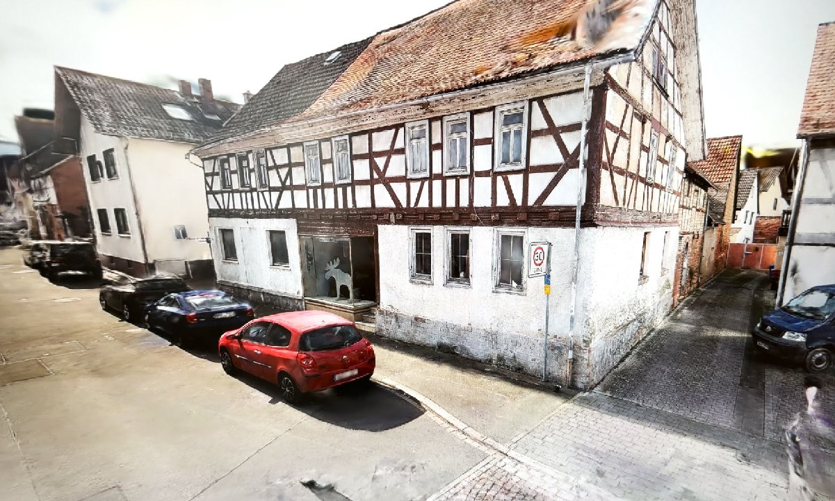
3DGS
| Model Generation | Basic 3DGS model generation |
|---|---|
| Preview | Basic 3DGS preview |