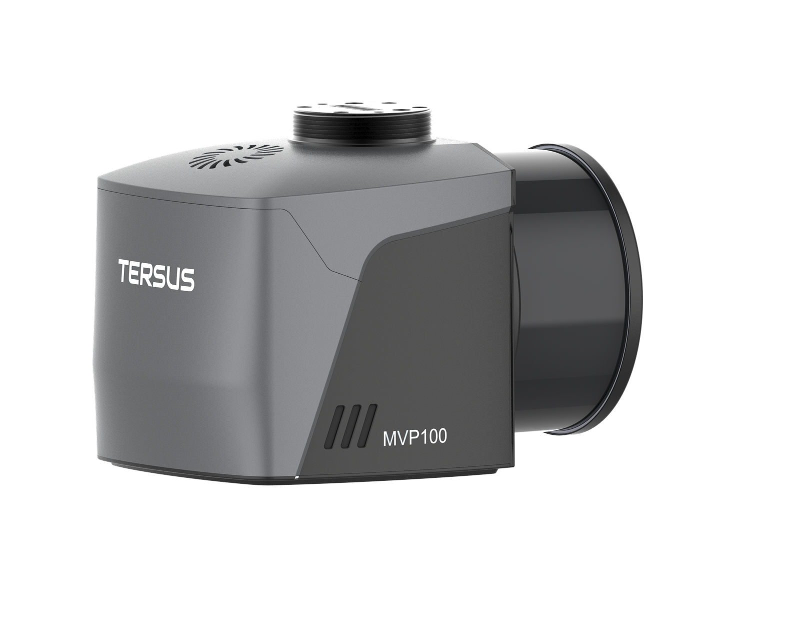
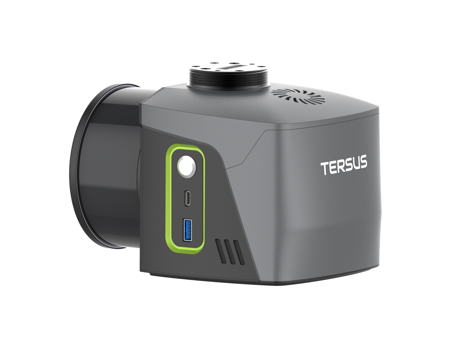
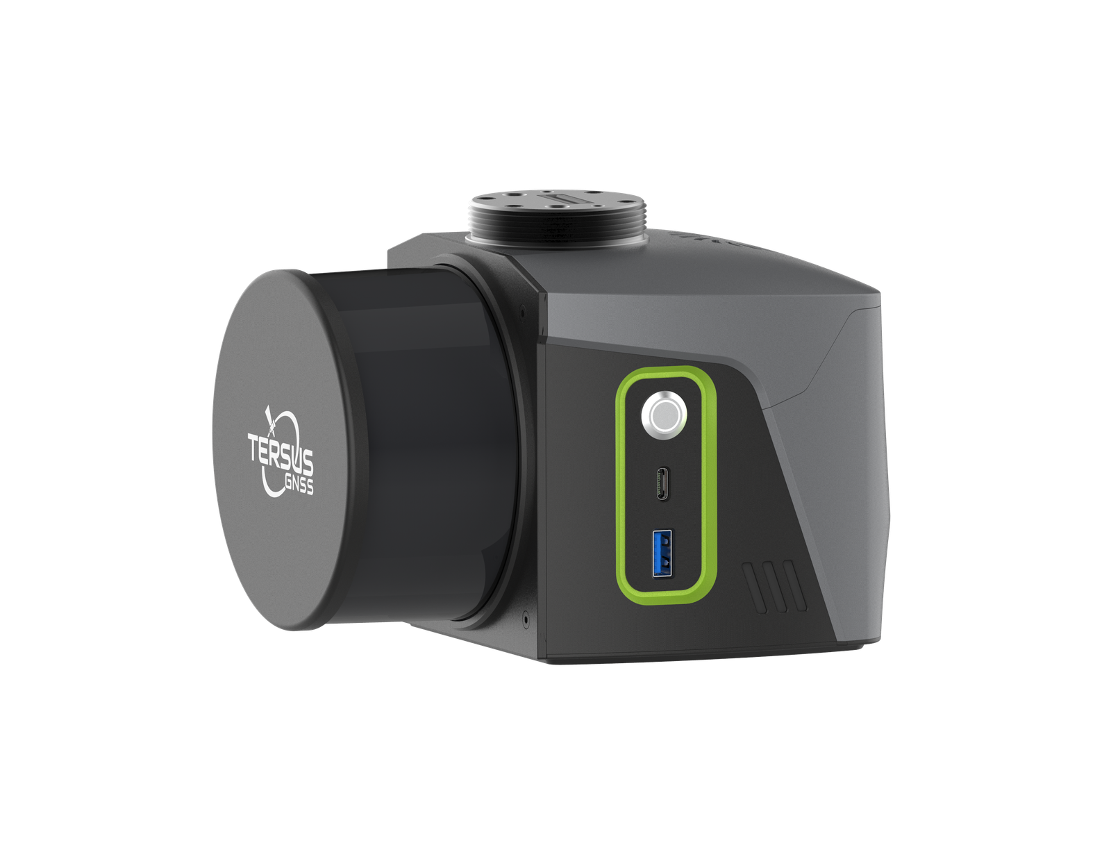

MVP 100
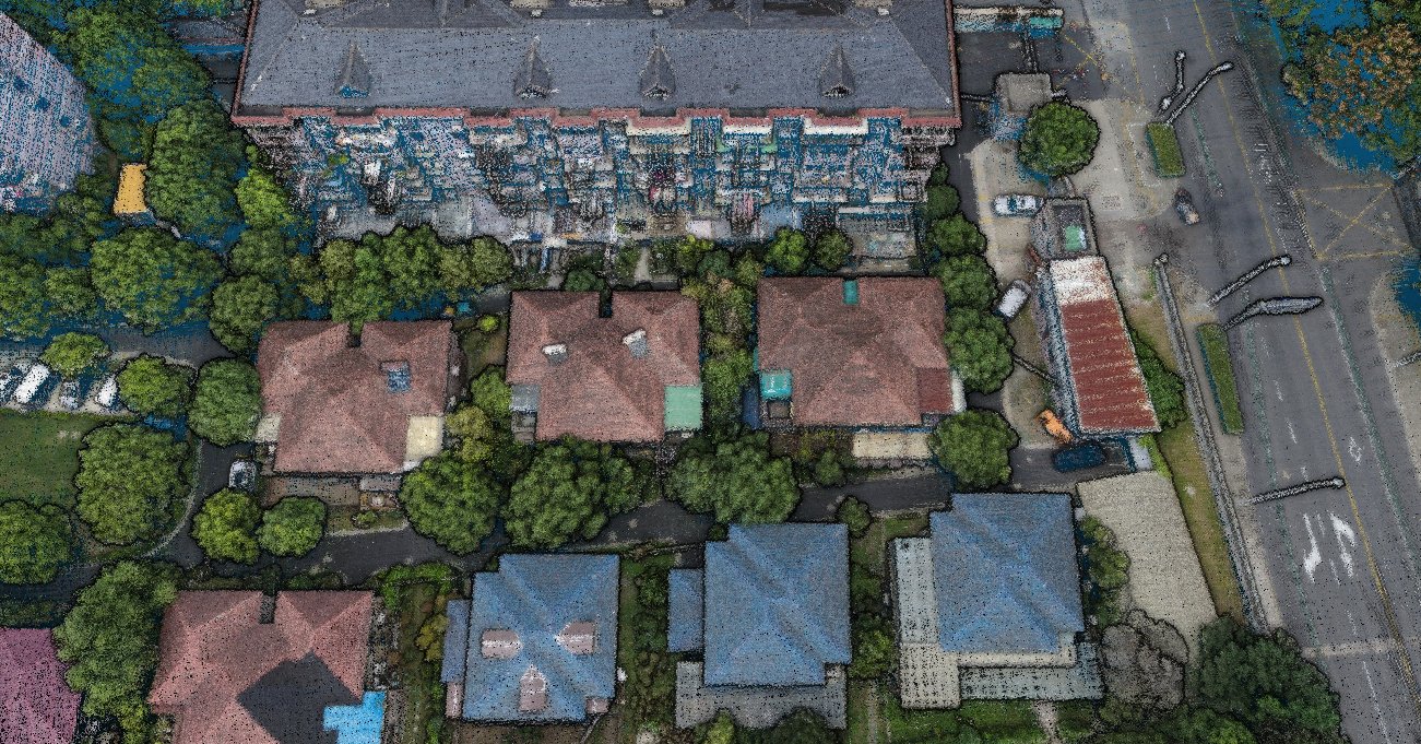
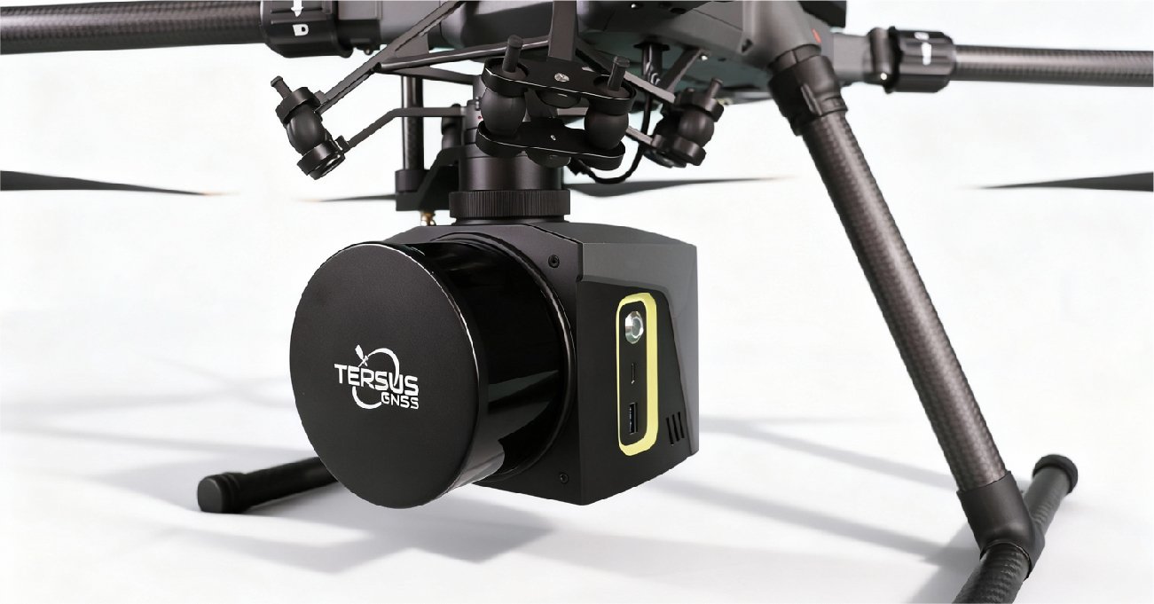
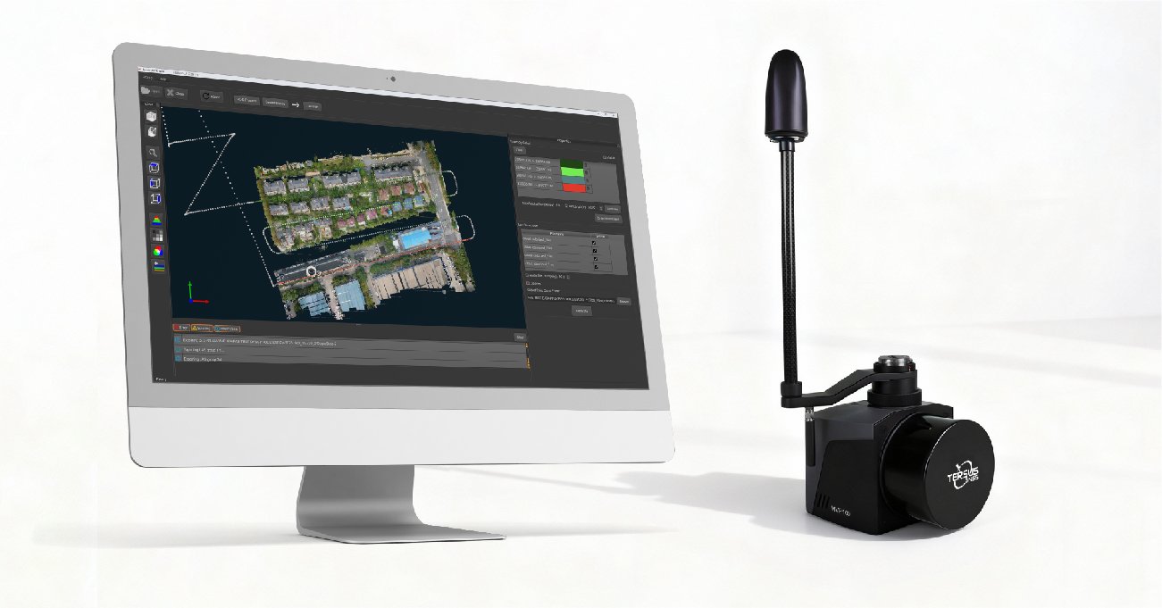
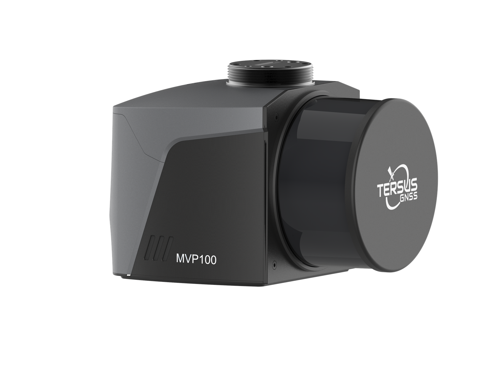
The Tersus MVP100 is an integrated, high-performance mobile mapping system designed for rapid and precise 3D geospatial data acquisition across multiple platforms. Powered by a GNSS-aided inertial navigation system (INS), Tersus patented GNSS receiver, and native support for Tersus TAP-Global PPP positioning service, the MVP100 delivers centimeter-level accuracy without reliance on local base stations, making it a cost-effective solution for capturing rich, high-precision 3D spatial data. This makes it particularly well suited for large-scale, cross-region, and remote mapping projects where base station deployment is impractical or costly.
- AVAILABILITY: AVAILABLE
- Inquire Now
One LiDAR. Three Ways to Map.
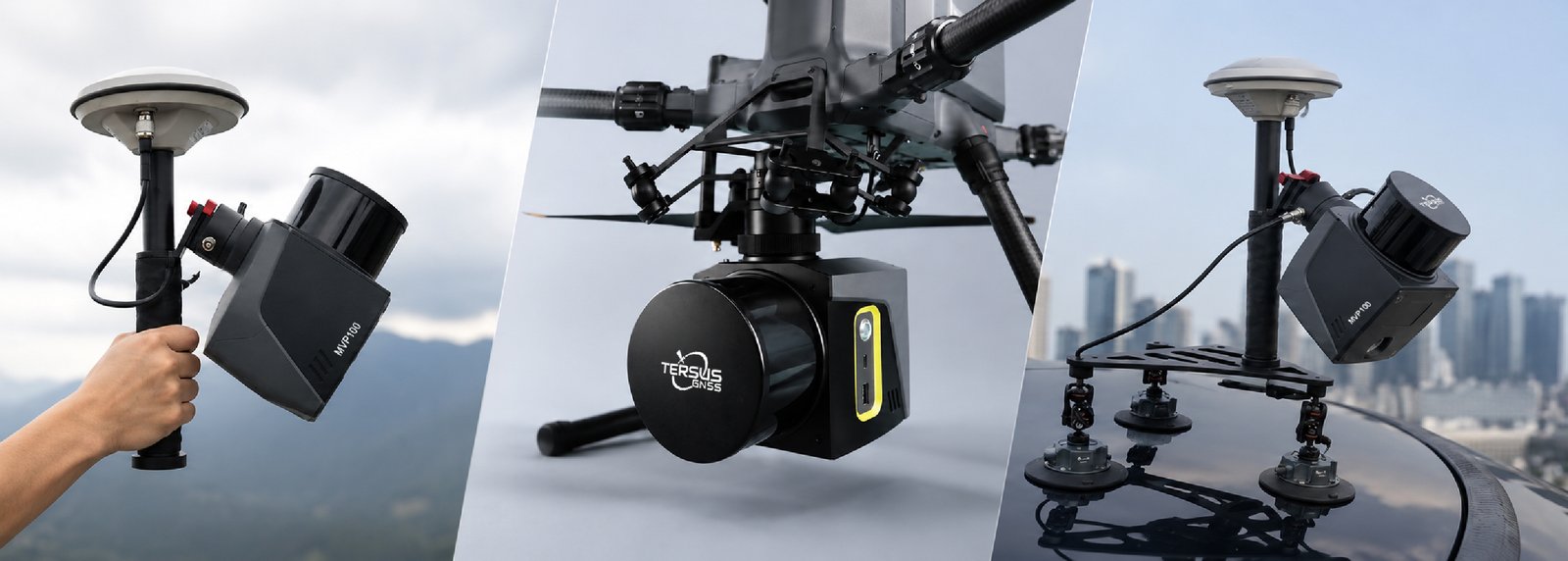
MVP100
System Platform
| Weight | 1.45 kg |
|---|---|
| Power Supply / Voltage | 13–18 V DC |
| Power Consumption | 20 W |
| Operating Temperature | -10°C to +50°C |
| Storage Temperature | -30°C to +60°C |
| Data Storage | 256 GB USB, up to 1 TB |
Scanner Performance
| Scanner | Based on Hesai Pandar XT-32 |
|---|---|
| Laser Class | Class 1 Eye Safe |
| Laser Channels | 32 |
| Wavelength | 905 nm |
| Operating Principle | TOF |
| Measurement Range | 0.05–120 m |
| Field of View (Horizontal) | 360° |
| Horizontal Resolution | 0.09° (5 Hz) 0.18° (10 Hz) 0.36° (20 Hz) |
| Field of View (Vertical) | 31° (-16° to +15°) |
| Vertical Resolution | 1° |
| Frame Rate | 5 Hz, 10 Hz, 20 Hz |
| Returns Supported | Dual Returns Single Return (Last, Strongest, First) |
| Max. Effective Measurement Rate | 640,000 pts/sec (Single Return) 1,280,000 pts/sec (Dual Returns) |
| LiDAR Accuracy / Precision | 10 mm / 5 mm |
| Point Cloud Accuracy | 3–5 cm |
Camera
| Camera Kit | 26 MP APS-C |
|---|---|
| Effective Pixels | 6252 × 4168 |
| Sensor Size | 23.5 × 15.7 mm |
| Focal Length | 16 mm |
| Field of View (FOV) | 83° |
| GSD @ 100 m | 2.3 cm |
GNSS / IMU Performance
| Positioning Accuracy (RMS) | 0.5 cm + 1 ppm (PPK) |
|---|---|
| GNSS Data Rate | Up to 20 Hz |
| IMU Data Rate | Up to 1000 Hz |
| INS Data Rate | Up to 1000 Hz |
| Roll & Pitch Accuracy | <0.01° |
| Heading Accuracy | <0.05° |
TAP Performance
| Coverage | Global |
|---|---|
| Horizontal Accuracy (RMS) | 1.5 cm |
| Vertical Accuracy (RMS) | 3 cm |
| Convergence | <3 minutes |
| Signal Stability | 99.99% |
| Datasheet_MVP100 | Download |
|---|