MVP B1
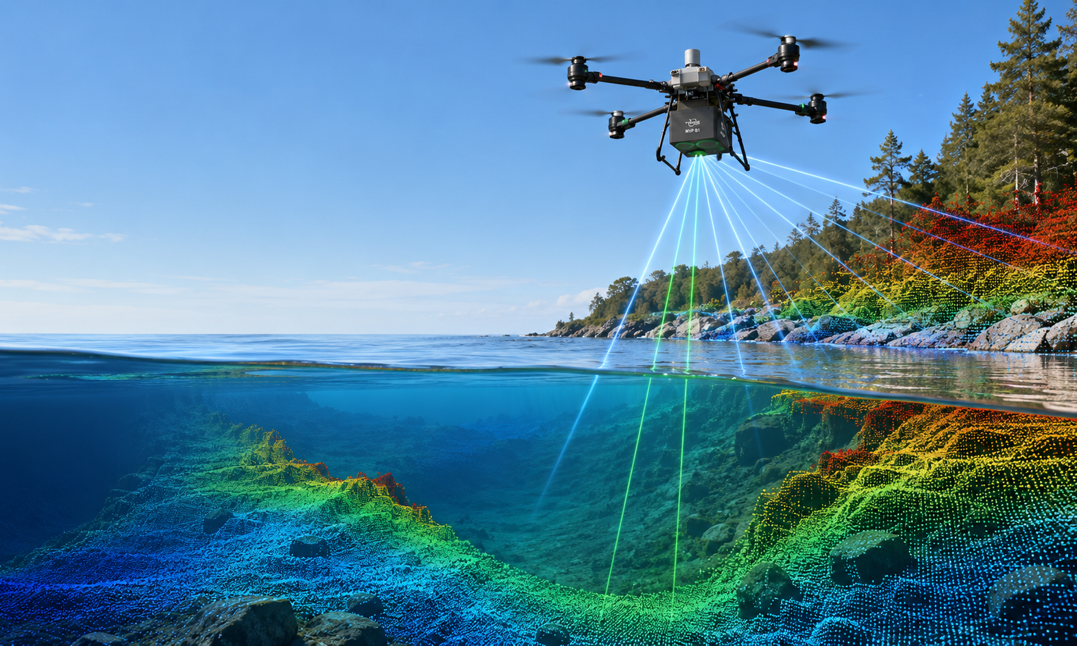
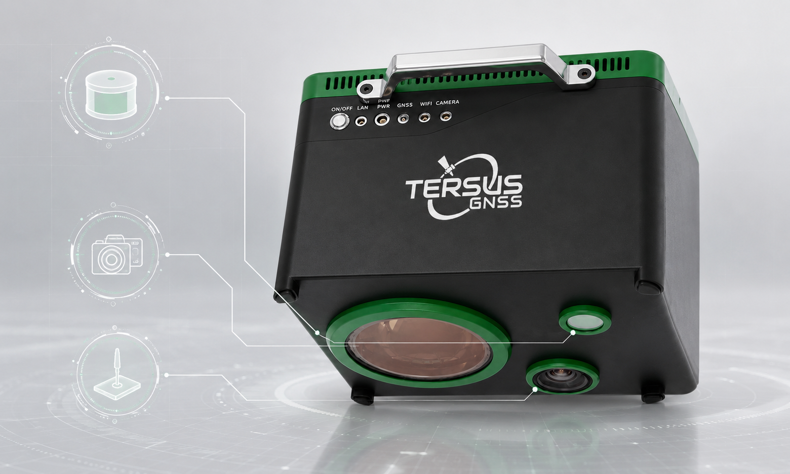
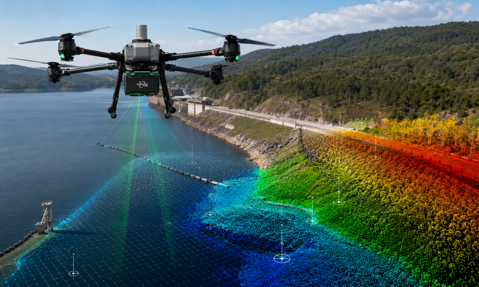
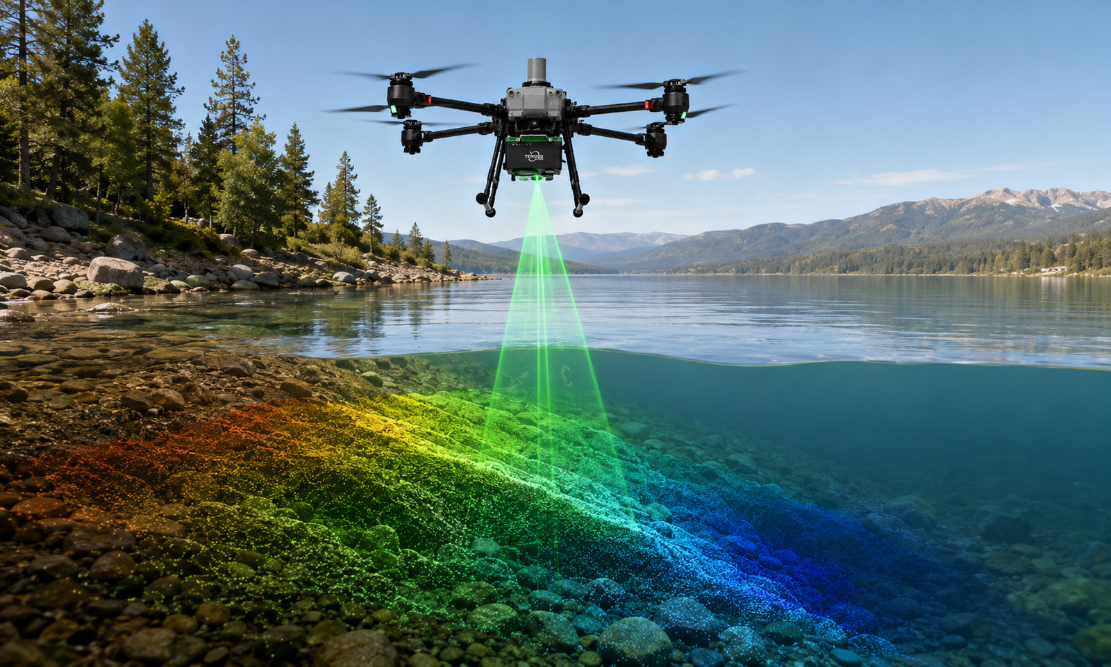
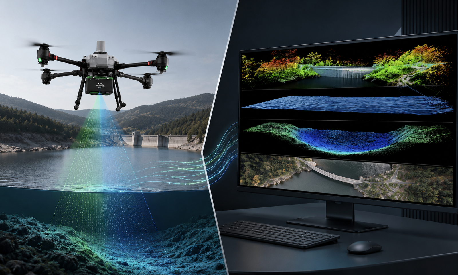
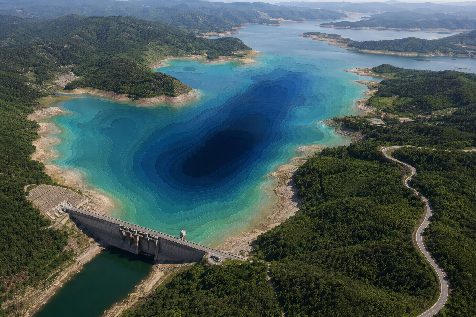
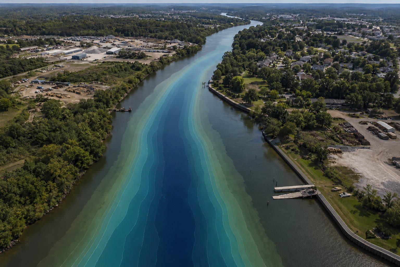
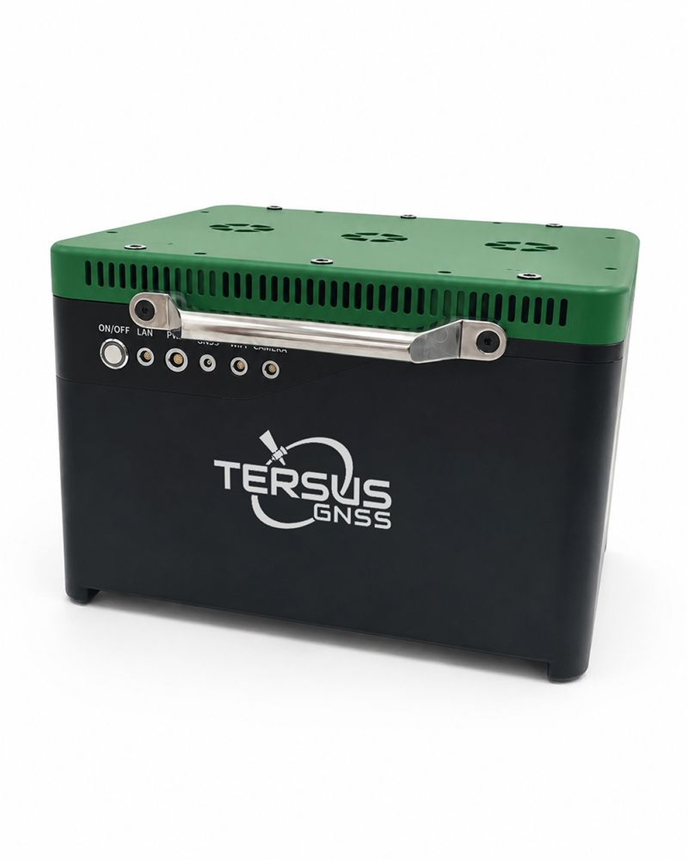
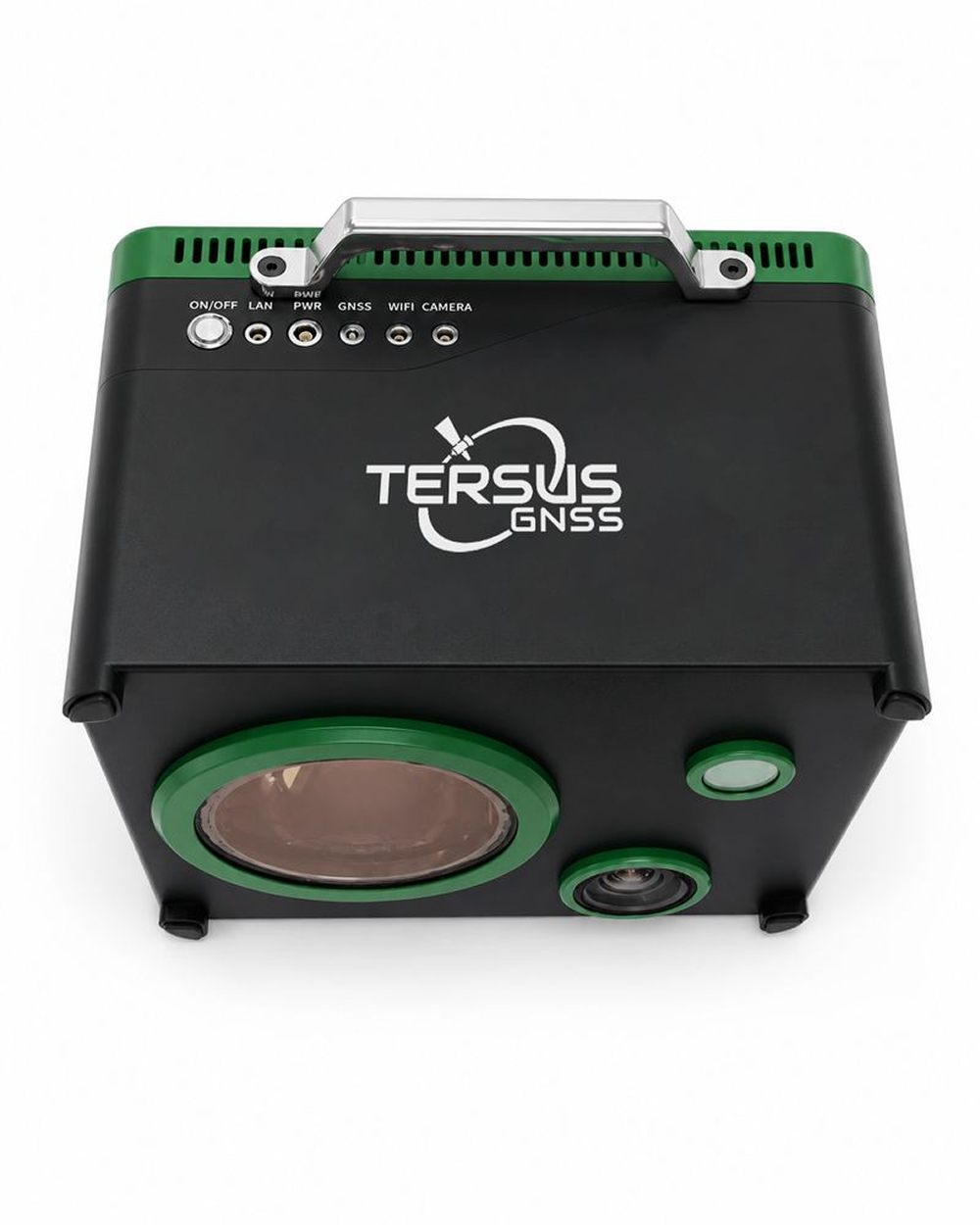
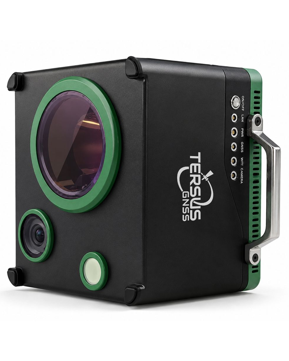
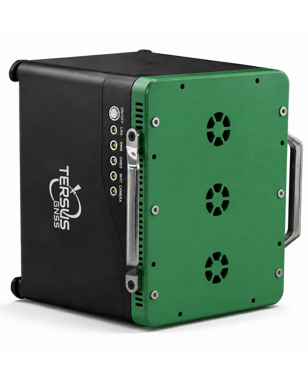
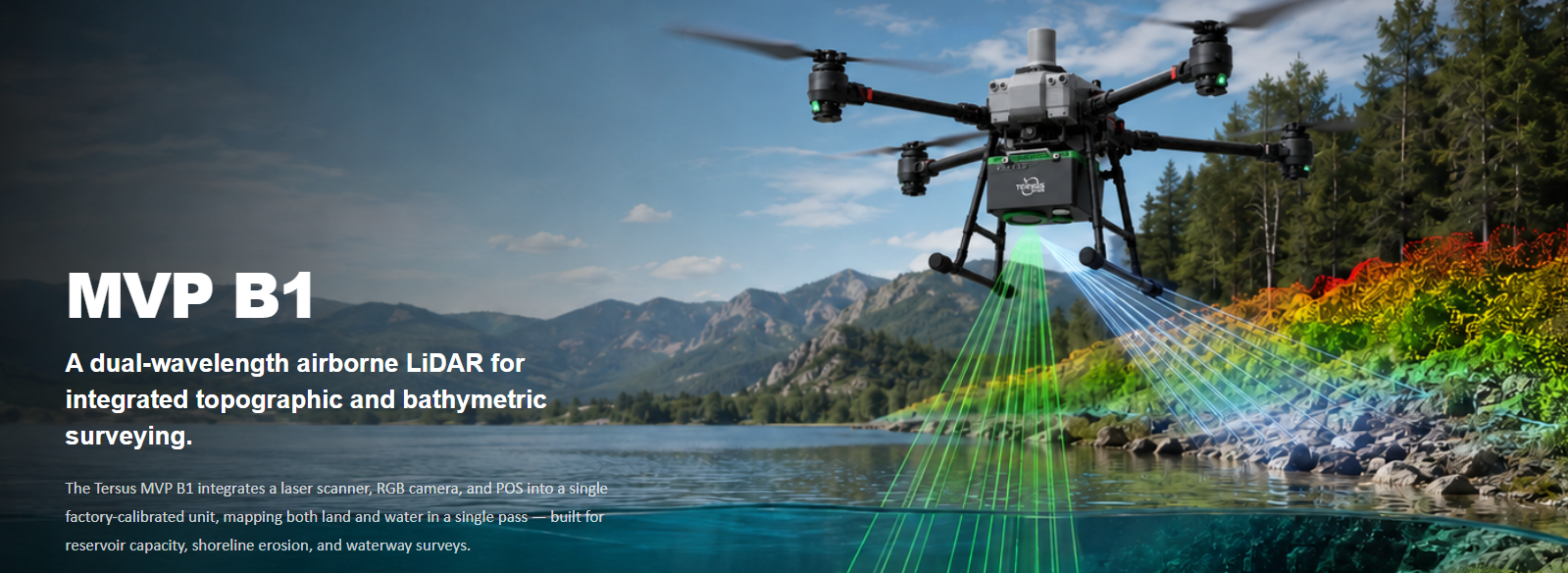
The Tersus MVP B1 is a single-body dual-wavelength airborne topo-bathymetric LiDAR that integrates the laser scanner, RGB camera, and POS in one factory- calibrated unit, mapping both land and water in a single pass — built for reservoir-capacity, shoreline- erosion, and waterway surveys.
The Tersus MVP B1 integrates a laser scanner, RGB camera, and POS into a single factory-calibrated unit, mapping both land and water in a single pass — built for reservoir capacity, shoreline erosion, and waterway surveys.
- AVAILABILITY: AVAILABLE
- Inquire Now
Optical Parameters
| Laser Wavelength | 532 nm + 1064 nm |
|---|---|
| Laser Class | Class 3B |
| Beam Divergence | ~0.5 mrad |
| Depth Penetration | 2.5 Secchi depths |
| Pulse Repetition Rate | 50–300 kHz |
| Scanning FOV | Cross-track 40° / Along-track 28° |
| Angular Resolution | 0.001° |
| Ranging Method | Pulse-phase |
| Scan Line Rate | 100 lines/s |
System & Data
| Integrated Sensors | LiDAR + RGB + POS |
|---|---|
| Data Fusion | Land-water seamless point cloud |
| Colorization | RGB true color from onboard camera |
| Platform | Open and integration-friendly for UAV, survey, and GIS platforms |
Physical
| Weight | 12 kg |
|---|---|
| Dimensions | 350 × 283 × 232 mm |
| Operating Temperature | -10°C to +45°C |
| Humidity | Non-condensing |
| Ingress Protection | IP64 |
Power and Interface
| Voltage | 24 VDC, 20–30 V input range |
|---|---|
| Power Consumption | 180 W |
| Data Interface | TCP/IP, Gigabit Ethernet |
| GNSS Antenna | SMA, internal-thread, male pin |
Deliverables
| Point Cloud | Georeferenced, colorized |
|---|---|
| Water Surface | 1064 nm-derived |
| Water Bed / Bathymetry | 532 nm-derived |
| Imagery | Real-scene RGB |
Laser Measurement
| Precision | 5 mm @ 50 m, 1σ |
|---|---|
| Returns | ≥7 |
| Intensity | 8-bit |
RGB Camera
| Resolution | 12 MP |
|---|---|
| Focal Length | 18 mm |
| Field of View | 90° long × 67° short |
POS
| Attitude Accuracy | R 0.03° / P 0.03° / H 0.01° RMS |
|---|---|
| Post-Processed Accuracy | H 0.01 m / V 0.01 m |
| Data Sheet B1 | Download |
|---|